Page Menu
Guatemala’s Western Highlands
To the northwest of Antigua, the Interamericana Highway twists around piney ridges and fuming volcanoes.
These are Guatemala’s western highlands—the heartland of the country’s Maya culture. The hillsides and valleys of this region are flecked with traditional villages and colorful market towns.
Chichicastenango is a Quiche Maya town known anciently as Chaviar. The town is situated on a ridge 87 miles northwest of Guatemala City (three hours), 67 miles from Antigua (three hours), and 23 miles from Panajachel (one hour).
Every Sunday and Thursday, Chichi’s central plaza fills with vendors offering handcrafts, flowers, household items and produce.
Few visitors leave without a huipilor (a vividly embroidered, traditional garment) or masterfully hand-carved mask.
Church of Santo Tomas
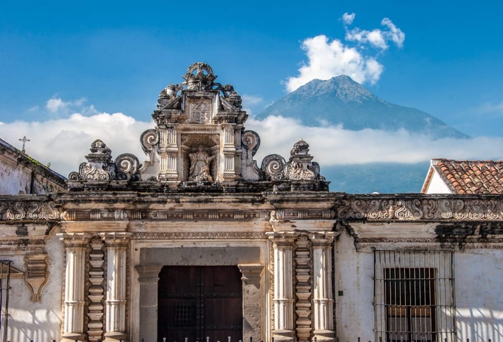
At the southwestern corner of the plaza, worshippers at the Church of Santo Tomas blend Quiche traditions with Catholic observances.
The church was constructed in 1540, atop an ancient temple platform; the syncretism here is deeply embedded.
Each of its 18 front steps corresponds to a month of the Maya calendar. Inside, beautifully-blackened altar stones are set in the floor.
Before entering, it’s customary for patrons to make offerings in a fire at the front, in addition to burning copal and estoraque incense.
This tradition leaves a sweet veil of smoke over the church’s steps, as Quiche priests offer prayers to ancestors. Appreciation of Maya culture has a rich history in Chichicastenango.
In 1702, the Quiche text known as the Popol Vuh was translated here by Dominican priest Francisco Ximénez.

Quetzaltenango
The city of Quetzaltenango, 58 miles (2.5 hours) to the west of Chichicastenango, is a base for exploring the western highlands.
Quetzaltenango, known locally as Xela, is surrounded by villages with traditional markets and colorful churches. Zunil, six miles south of Xela, holds its market on Mondays.
Totonicapan’s market, northeast of Xela, is held early, each Tuesday and Saturday.
Guided hikes are available from Xela to three nearby volcanoes: Santa Maria, Santiaguito, and Tajumulco—the highest mountain in Central America, reaching 13,854 feet above sea level.
What to do in The Western Highlands
- Market visits
- Handicraft shopping
- Cultural festivals
- Church & ruin tours
- Traditional weaving & mask carving
- Guided volcano hikes
- Village excursions
- Maya spiritual ceremonies
What is the Weather Like?
Temperatures vary with elevation but are generally mild year-round. In towns like Chichicastenango and Quetzaltenango, daytime highs average in the low-70s °F, while nights can dip into the high-40s °F. The rainy season extends from May to October, often bringing afternoon showers, while November through April is drier and sunnier. Layers are recommended, as mornings and evenings can feel crisp despite the daytime warmth.
Getting There
Chichicastenango is reached by road in about three hours from both Guatemala City and Antigua, or one hour from Panajachel on Lake Atitlán. From there, Quetzaltenango (Xela) lies roughly 2.5 hours west, serving as a convenient base for the highlands. Most visitors travel with private drivers or tourist shuttles, as road conditions vary and local traffic can be unpredictable.
Start your journey today
LANDED delivers the finest in custom, private travel to Central America, South America, and Antarctica. These regions are our passion; we know them first-hand and by heart. Speak with one of our travel designers and let us create a tailored itinerary for you in The Western Highlands.
How to combine The Western Highlands
Have some extra time? Here are some options for you to combine with.

